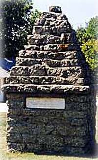
Historical Marker
Long before white men settled Kansas this region was the home of Pawnee Indians. French traders in the late 1700’s named those along this river the Republican Pawnee in the mistaken belief that their form of government was a republic. From them, the Republican river and in turn Republic county and city took their names. Here, along the east side of the river, passed the
military road opened in 1857 to connect Fort Riley and Fort Kearny, Neb. White settlements began in this area in the early 1860’s, and at this place in 1868 the Scandinavian Agricultural Society of Chicago started a colony, which became Scandia. Fearful of Indian attacks, for several occurred nearby, the settlers constructed a stronghold near the river named Colony House.
Jedediah Smith, famed mountain man, explorer mapper of the American West, led 60 men up the Republican valley in January, 1826. He stayed several weeks at a Republican Pawnee village, probably the one four miles west and eight north of this marker. The site of this village has been preserved by the state, and a modern archeological museum was opened there in 1967.
– Erected by the Kansas Historical Society and State Highway Commission
Getting There & Details
- Address
- US Hwy 36
- Map
- Get Directions →
More Things to Do
Scandia United Methodist Church
The 1915 church building and the original church of 1877, were under the Swedish Methodist…
Learn more →Wohlfort Mansion
The 3-story mansion was built in the early 1890s by Thure Wohlfort, one of the…
Learn more →Amana Lutheran Church
The Amana Lutheran Church was founded in 1873 and has large beautiful stained glass windows…
Learn more →Scandia Museum
The Scandia Museum houses many relics from the early settlers who were mostly Swedish, Danish,…
Learn more →