
Course Access: Public
Holes: 9
Reserve Advance Tee Times: 7 days
Course Access: Public
Holes: 9
Reserve Advance Tee Times: 7 days
Baxter Springs was a stopping place on the old Military Road serving Army forts which protected the preCivil War West from "hostile" Indians. It wasn't until 1862
Baxter Springs, KS FortsThe soldier's plot in this cemetery was designated by the federal government after the Civil War on ground donated by the city for that purpose. It is under the jurisdiction of the National Cemetery Plot in Ft. Scott. The soldier's monument was erected in the spring of 1870
Baxter Springs, KS CemeteriesSee the Tri-State Marker and be in three states at once! The meeting point of Kansas, Oklahoma, and Missouri is 6 miles east of Baxter Springs on Highway 166/400. Turn south on the small paved road just west of the state line, and continue to the dead end. Built in 1938
Baxter Springs, KS Geographical MarkersTake the self-guided Civil War tour of Baxter Springs. Visit 12 points of interest relating to the attack on Ft. Blair and the subsequent Battle of Baxter Springs. For example, SITE #2
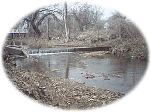
Baxter Springs, KS Tours* Rainbow Curve Bridge just north of town is the only remaining Marsh Arch bridge on Rt. 66. * The InterUrban Street Car Bridge spans the lazy banks of the Spring River.
Baxter Springs, KS Historic BridgesPolk Daniels State Lake - East of town, one of the most beautiful areas is Polk Daniels...
http://kansaswalleye.org/ You are invited to the five scheduled tournaments at some of the finest lakes in Kansas. The ...
Trading Post is one of the oldest settlements in Kansas and the site of an early French trading post with the Osage Indians, ...