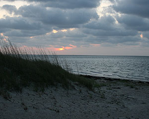
The Outer Banks Scenic Byway is one of 44 Scenic Byways that the North Carolina Department of Transportation has designated to give visitors and residents a chance to experience a bit of North Carolina history, geography and culture while raising awareness for the protection and preservation of these treasures. From Whalebone Junction on the Outer Banks of NC, this 111 miles byway travels south along North Carolina Highway 12, on bridges and ferries across several inlets, and ending in Beaufort, NC. The Hyde County portion of this byway begins as you board the free ferry on Hatteras Island and ends on Ocracoke Island as you board a toll ferry to Cedar Island. The crossing time for the Hatteras Inlet to Ocracoke Island is about 35 minutes. The present Hatteras Inlet opened in 1846. Notice the wild horses while following North Carolina Highway 12 for 13 miles along the Cape Hatteras National Seashore across Ocracoke Island to the village of Ocracoke. The animals are Banker Ponies, descendants of horses brought by early explorers on ships wrecked in the Atlantic. A herd also is maintained on the islands south of Beaufort. Ocracoke was first called Wococon in the 1500s (when it was an Indian village) and has since gone through a series of names derived from the Algonquian for "enclosed place." One of the oldest operating lighthouses on the Atlantic is located on Silver Lake, a tidal basin and harbor in the village of Ocracoke. The 75-foot tall Ocracoke Island Lighthouse was built in 1823 and is the only operational lighthouse within a town. The Ocracoke Inlet, once North Carolina's primary trade inlet, was the site of the death of the notorious pirate, Blackbeard, who was killed on November 22, 1718. From Ocracoke Inlet, the Cedar Island ferry to Carteret County is a 2.5 hour ride to continue the Outer Banks Scenic Byway, or travel the Alligator River or Pamlico Scenic Byways by taking the toll ferry to Swan Quarter.